I was running an older version of the French OpenStreetMap style for quite a while due to some missing setup instructions. These have been resoved now, and so the French style print results should now look the same as on the OpenStreetMap France website.
Author: hartmut
New styles and overlays
I’ve added the following new base styles and overlays over the weekend:
- OpenRiverBoatMap
- OpenPisteMap overlay
- a maxspeed overlay using the same color scheme as the ITO Speed Limits map
Showing true outline on map details page
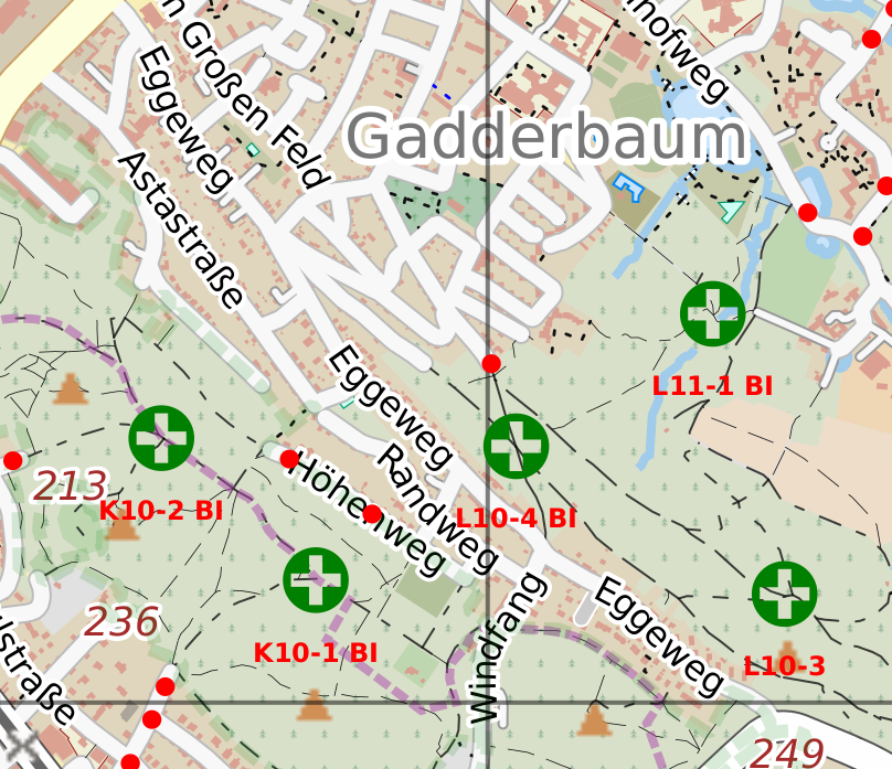
Emergency access points in fire overlay
Mapnik v3, CartoOSM 2.45.1 and other changes
After re-importing the database I’ve now merged patches from Étienne Loks that add support for Mapnik v3.x to the OCitysMap rendering backend.
I’ve also improved the Fire hydrant overlay, and added support for using more than one overlay style.
Continue reading “Mapnik v3, CartoOSM 2.45.1 and other changes”
Database reimport
Rendering issues fixed
I noticed that some failed rendering jobs lately, all of which failed due to language / locale settings I hand’t tested yet.
Some of the jobs simply failed as my list of installed locales was missing some of those that could be selected in the “Create map” form, these should now all be installed as needed.
I also wrapped the setlocale() calls in a try…catch block now, so that unsupported locales will just make the rendering code fall back to English instead of letting rendering fail with an exception stack trace.
New overlay style: hiking routes
There is a new ovlerlay style available in the MapOSMatic overlay selection now:
The Waymarked Trailsi Hiking style
New server ready
It took a little longer than expected, but now migration to the new server is complete and it is humming along fine with a full planet database updated every 15 minutes.
New server in testing
The IO subsystem of the current server couldn’t really keep up with importing regular diffs and keeping the full planet database up to date.

