![]()
FrOSCon is coming up in three weeks from now, and the program is now online.
We’re going to have a full OSGeo & OSM track this year in our own dev room, and I’m going to have three different sessions there:
A playground for OSM related stuff
![]()
FrOSCon is coming up in three weeks from now, and the program is now online.
We’re going to have a full OSGeo & OSM track this year in our own dev room, and I’m going to have three different sessions there:
Nominations for the 2017 OSM Awards have been published and voting has started.
I was surprised to learn today that I’ve been nominated as a candidate in the “Core System Awards” category ….
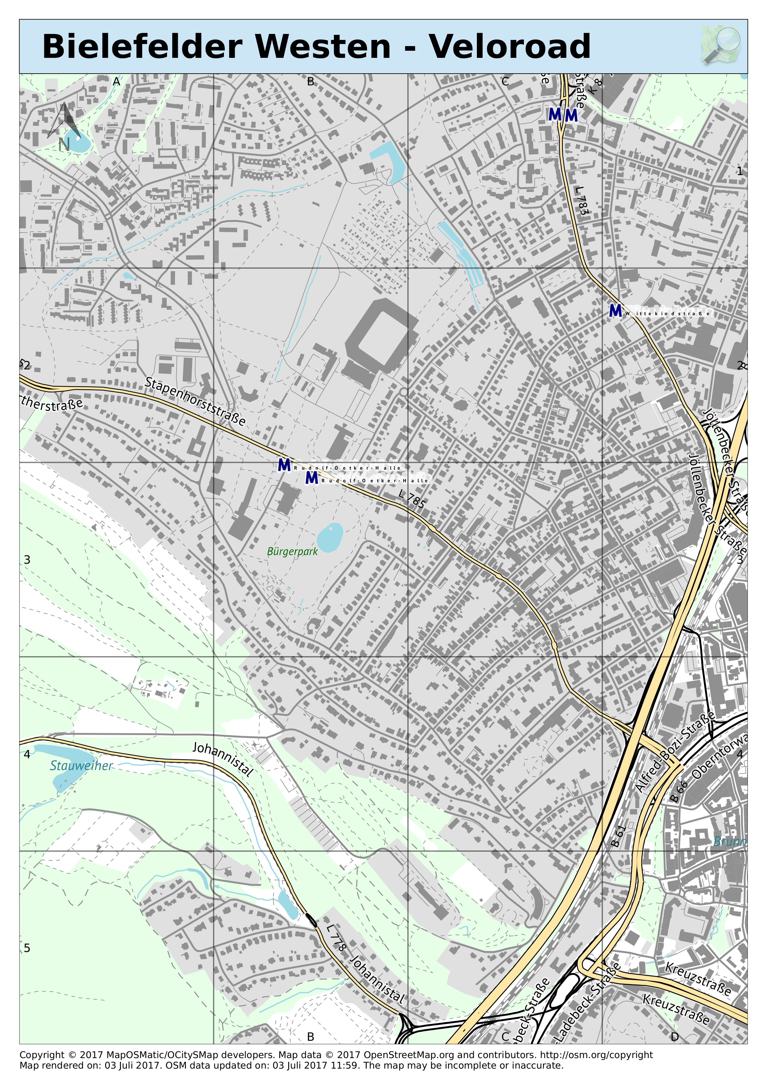
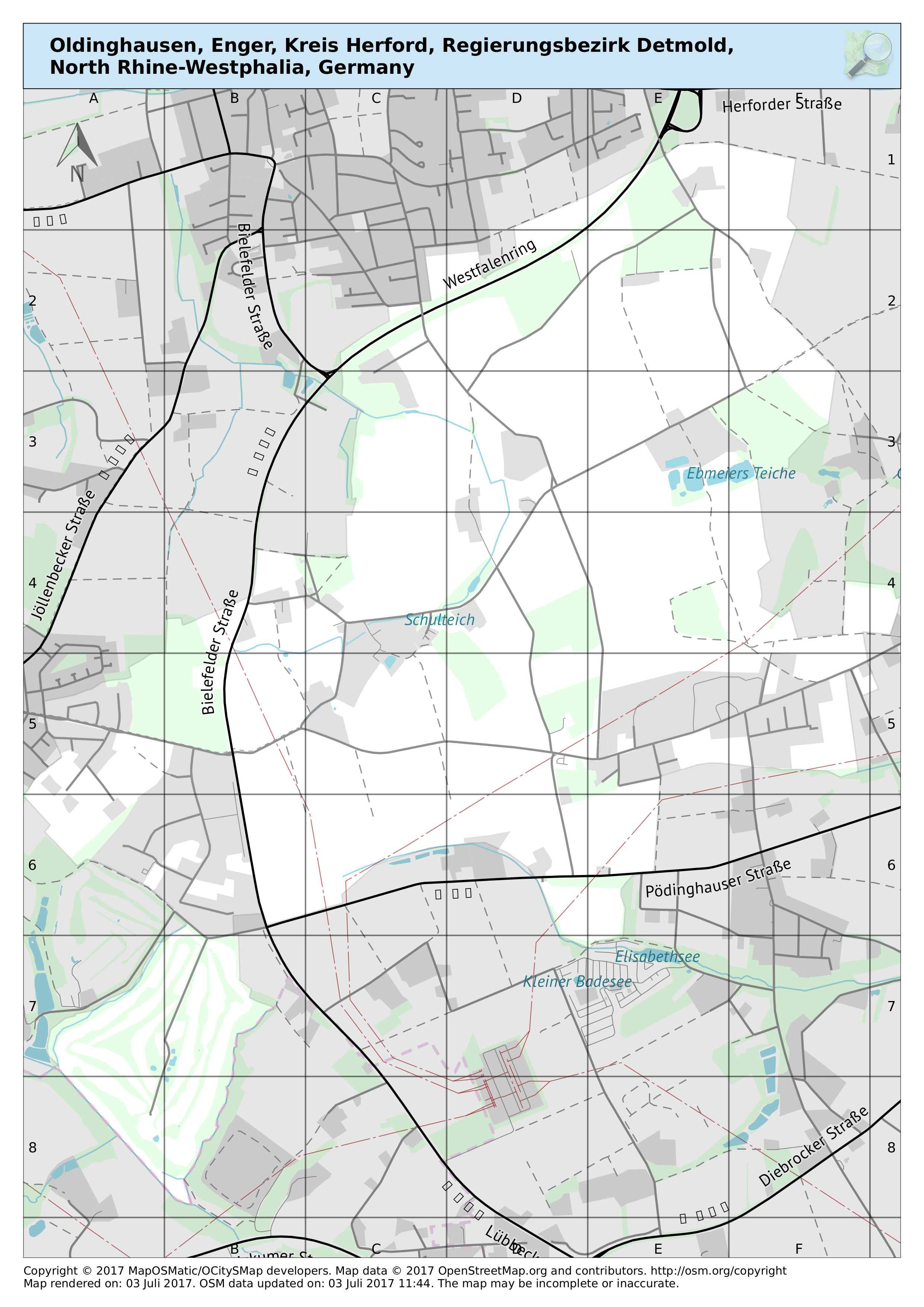
I found a few more style sheets that were either ready to use or easily adaptable to the osm2pgsql schema:
Update: everything is back to normal again, all caught up
Due to database maintenance work regular diff imports to the main OSM database are currently disabled, the current database state is that of July 5th noon (CEST).
The WayMarkedTrails route database is still getting its regular updates, but is currently falling behind a little bit (currently around 7-8 hours) due to the higher disk load during maintenance.
Rendering of maps is still possible, just don’t expect map data changed after Jul 5th noon to be taken into account for the next few days …

I’ve been collecting various map rendering styles for my MyOSMatic instance for quite a while now, integrating whatever I found useful and not too hard to integrate.
I’d now like to put a bit more systematic effort into this, and for this I need some “swarm intelligence” help.
So if you know of a map rendering style out there that you’d like to see supported please let me know.
Conditions:
If you know of any good map styles that match the criteria above please let me know in a comment on this post, or even better: create a feature request issue on Github
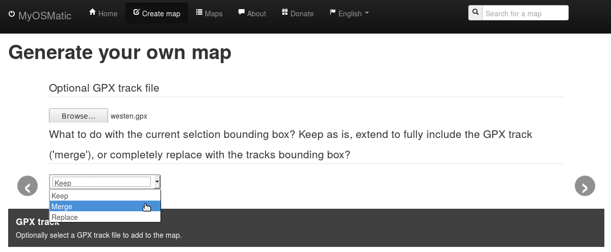
I had added the option to upload a GPX track in the MapOSMatic instance a little while ago, but using that was a bit tricky. This has just been improved a little big.
So far you had to manually select the map area to render before adding a GPX track which could be a bit tricky.
Now it is possible to select one of three options: