- OpenStreetMap Carto Style updated to v3.1.0
- Added an empty base style, e.g. for testing overlays
- Added a “Schwarzplan” overlay that only renders buildings in pure black, inspired by this service
Category: osm
New Pistemap Style
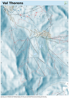
Now that the database reimport has finihsed I was finally able to enable Michael von Glasgows Pistemap style on the production server.

This style now replaces the older OpenPisteMap overlay with a full standalone stylesheet, including hillshading (only for the european Alpes so far though).
For example output see e.g. this test rendering of the Val Thorens area in France
Database maintenance
I’m going to do an OSM database reimport this weekend (Feb 25-26).
The web frontend will be online most of the time, so existing maps can still be retrieved, and new rendering jobs can be created, but the rendering daemon will be offline for at least all of Saturday, probably most of Sunday, too.
So don’t expect any new jobs entered over the weekend to be rendered before Monday, Feb. 27th, and the database may still be a bit behind for a few more days until things have fully caught up with minutely diffs again.
Rendering Deamon problems resolved (mostly)
Being mentioned in Wochennotiz / weeklyOSM 339 lead to quite some additional traffic (which is good), but unfortunately also revealed an issue that could only surface with enough parallelism. This lead to random rendering failures, and eventually to a total stop of the rendering daemon on Tuesday and parts of Wednesday.
This has hopefully been resolved now, the rendering daemon has finished all pending jobs in the queue, and I manually restarted those jobs that were listed as “canceled by user”, knowing that at least some of these had actually been killed by the system instead.
Continue reading “Rendering Deamon problems resolved (mostly)”
Updated German Style
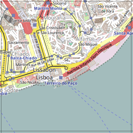
Sven has just announced that he’s updated the German OSM style and merged the main CartoOSM style v3.0.0.
So I’ve updated my local instance, too. In the screenshot you can see that the local and German name of Lisboa/Lissabon are rendered as described in Svens announcement:

Added a monochrome OSM style
I’ve now added a (mostly) monochrome variant of the CartoOSM style which is especially suitable for use in combination with overlays as it makes colored features from the overlay stand out more prominently.

MapOSMatic instance currently down :(
Update: the problem was in dead code in my own extensions to the OCityMaps renderer which used Nominatim via geopy.geocoders at some point in the past. This code was no longer used / needed and so has been removed now.
Original post:
The MapOSMatic instance currently returns “500 internal server error” only, the root cause of this is some OpenSSL error deep inside Django/Nominatim integration as far as I can tell so far.
This started after installing “Lets encrypt” and enabling SSL on another domain hosted on the same server, even though the MapOSMatic site doesn’t even use https yet.
So I’m not sure yet whether this is due to Apache configuration changes, or due to additional Pyhton packages that got installed during the process …
Surveillance Camera Editor
In addition to the Surveillance overlay style I’ve now also added a simple editor web application focused on adding and modifying surveillance camera objects only.
OpenStreetMap Carto Style updated to v3.0.1
“Surveillance under Surveillance” Overlay
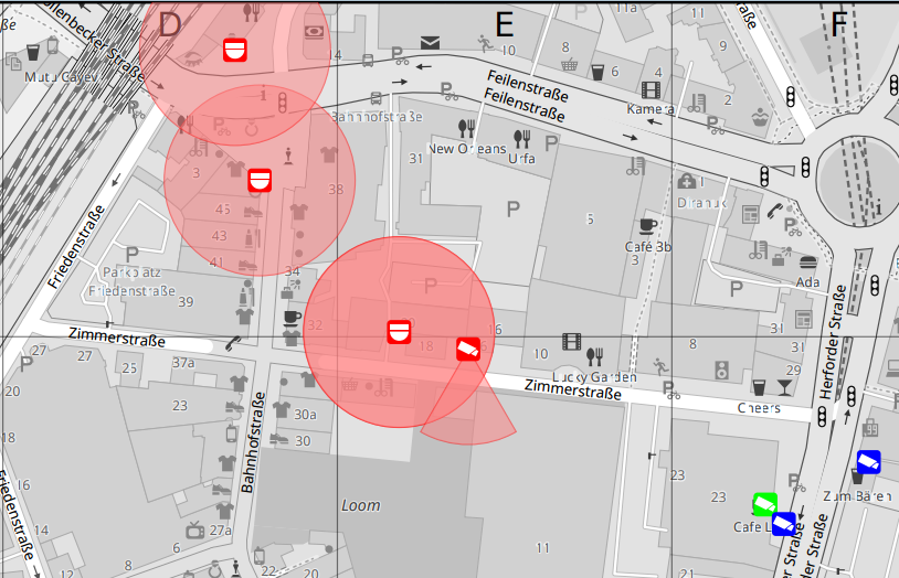
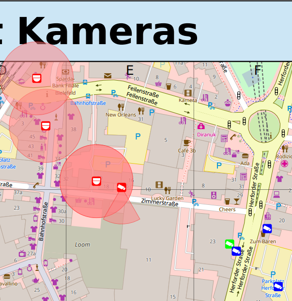
I’ve added another overlay style that tries to display the same information as the Surveillance under Surveillance map, showing surveillance cameras and an estimate of the areads covered by them.

Continue reading ““Surveillance under Surveillance” Overlay”