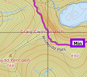
Over the weekend I’ve imported countour data generously provided by OpenSnowMap.
Contour lines in 10m steps are now enabled in the OpenTopoMap style by default, and can be added to other styles as an overlay.
Unfortunately, due to a small but momentous fault on my side, I ran into temporary disk space problems while performing the import, and had to make sure to temporary provide an extra ~500GB of free space.
This has lead to a few service hickups which are hopefully all fixed now:
- Minutely diff imports had to pause longer than originally thought. The main database has caught up by now but hiking, biking, etc. routes are still about two days behind
- The test sites are offline for now (not sure if anyone but me knew about them anyway)
- The “MapOSMatic printable” and “PisteMap” styles were not functional for a little while
- This night the web server process stubled over a missing directory and stopped for a few hours
- The first version of the contours overlay didn’t have a transparent background, and so were completely replacing the base style layer instead of just adding contour lines on top. I didn’t spot this in testing as I only tested this on top of the “Empty” style 🙁
One thought on “Style updates – height contour lines etc.”