I’m planning to add a “bring your own GPX track” feature that allows to upload a GPX track to put on any given map as an overlay, including automatic bounding box detection.
This could e.g. be used to produce custom hiking maps from tracks downloaded from WayMarkedTrails.
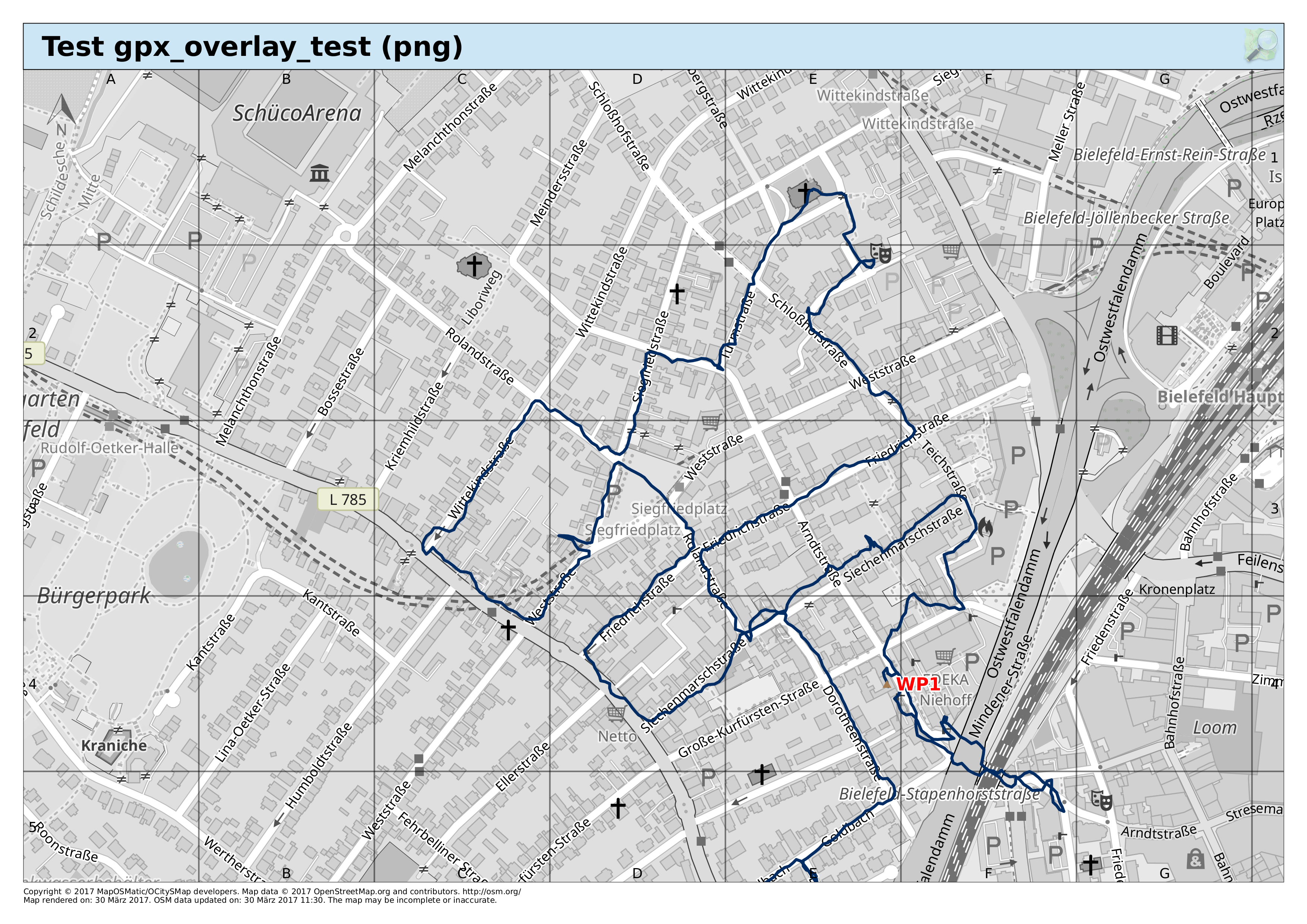
The image below shows a first attempt, showing a track with a single way point (and obviously without bounding box detection yet).